Roan Mountain North Climb Summary
![]()
Thanks much to Dan Razum, Campbell, CA for his excellent photo and written summary of this climb.
You can start riding at the town of Roan Mountain, where route 143 begins . . .
![]()
Longer route start - town of Roan
. . . .or you can also start at Roan Mountain State Park, a couple of miles south of the town along route 143. There are several parking lots in the State Park.
![]()
Roan State Park 2 miles south of the town of Roan Mountain
Note: PJAMM’s “climb” begins further south of Roan Mountain where the road pitches up for the duration (~ 5 miles south of the town of Roan Mountain).
Route 143 is a 2 lane road that starts off with a wide shoulder but that only lasts about a half a mile.
After that, there is no shoulder.
![]()
No shoulder after ½ mile.
The first 5 miles are rollers before starting the climb proper at the intersection with Burbank and Cove Creek roads.
![]()
PJAMM’s Climb Start (intersection of Burbank and Cove Creek Roads).
This roller section passes through Roan Mountain State Park and has some sharp bends with limited visibility. You need to be careful because there can be moderate traffic in this area and the lack of shoulder makes it dangerous if a car comes up quickly around a bend. Route 143 is a typical narrow, twisty country road that is common throughout the Appalachian area. Bright clothing and a rear tail light is highly recommended when riding any country road and mirrors are also very helpful. In the roller section, I encountered a car every 2 or 3 minutes, so the traffic isn't heavy but you still need to be careful. During the climb (last 9 miles of my climb) there was less traffic, maybe one vehicle every 15 minutes and I did not encounter any vehicles at all during the descent. That was a weekday in November; there is probably significantly more traffic during a summer weekend. The road surface throughout is smooth and in good condition.
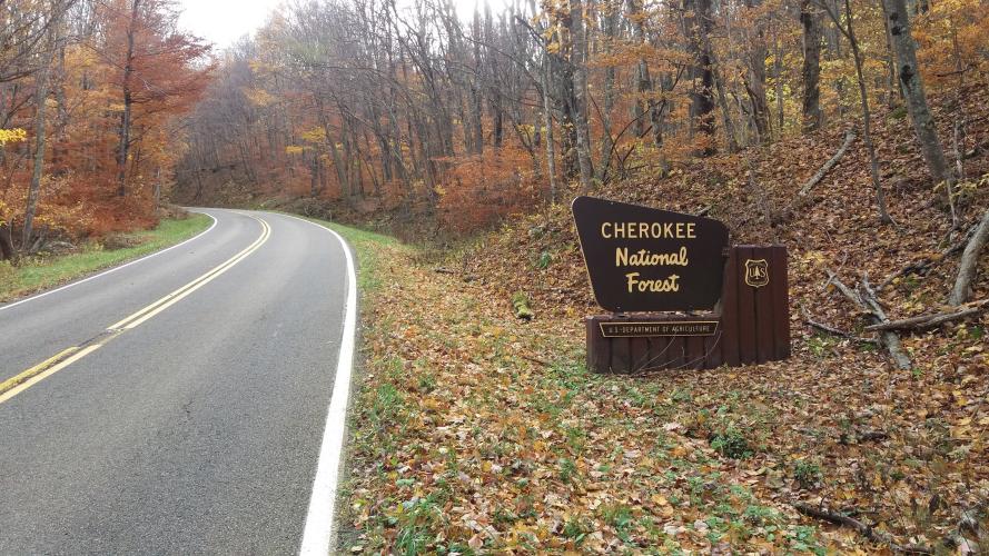
The climb is enjoyable, not too steep and no sharp turns. You start out going through a thick canopy of hardwood
trees, arching across the road.
![]()
Tree canopy in beginning of climb (November colors).
About halfway up, the road gets closer to the side of the mountain and you start getting glimpses of the valley and surrounding moutains.
![]()
Views of the valley below higher up the climb.
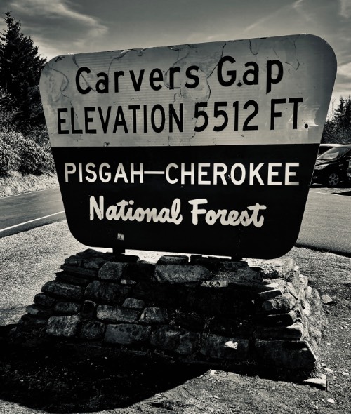
The last mile before Carver's Gap has nice wide open views. Upon reaching Carver's Gap you turn right onto route 1348, a small two lane road going to Roan Mountain Gardens.
![]()
Carver’s Gap (mile 7.4 of PJAMM route / 12.5 miles from town of Roan Mountain)
This road is more narrow than 143, but the traffic would only be tourists, so I feel it would be safe during the tourist season. The road closes for the winter, so there was no traffic at all in November. However, you should still be careful, I encountered a pedestrian walking a dog on the descent. And it's possible that deer or other wildlife could run across the road. The trees change to coniferous around Carver's Gap; riding up 143 is hardwood forest and riding up 1348 is pine forest.
![]()
Alpine setting last few miles.
At the end of 1348 there is a toll booth to collect parking fees, but no mention of bicycles, so I don't know if
there is a fee for bikes or not. However, the toll booth is essentially the end of the road, there isn't any paved climbing
or views afterwards.
![]()
Toll booth at 14.7 miles from Roan Mountain - Finish of PJAMM’s route.
Beyond the toll booth you can turn right into the parking lot or turn left towards Roan Gardens and bus parking. To the left it is a gravel road, but fairly smooth, passable with a road bike.
![]()
Easily navigated on a road bike.
The gravel road goes about a mile before ending at the trail head to Roan High Bluff. Since there are no great views after the toll booth due to the high vegetation, there probably isn't much point to ride the gravel portion, unless, perhaps, it is summer and the rhododendrons are in bloom.
![]()
End of the gravel road.
The best views are on 143, in the mile before reaching Carver's Gap. There are also some views of the North Carolina side from 1348, about 1/2 mile before the toll booth.

 We've partnered with Sherpa-Map.com to bring you the best route planning tool. With a PRO Membership you can use this climb as a reference when creating your route.


